
Celebrate #MarsMonday with some of our favorite images of the red planet! These selections were taken by the Curiosity rover and the Mars Reconnaissance Orbiter.

This is an example of a layered rock face that demonstrates the tremendous variety of terrain on Mars. Taken by the Curiosity rover.

This image, taken by Curiosity, shows regions that include a long ridge teeming with hematite, an undulating plain rich in clay minerals, and a multitude of rounded buttes, all high in sulfate minerals.

This image from the Mars Reconnaissance Orbiter features the Curiosity rover on the surface in the blue box.
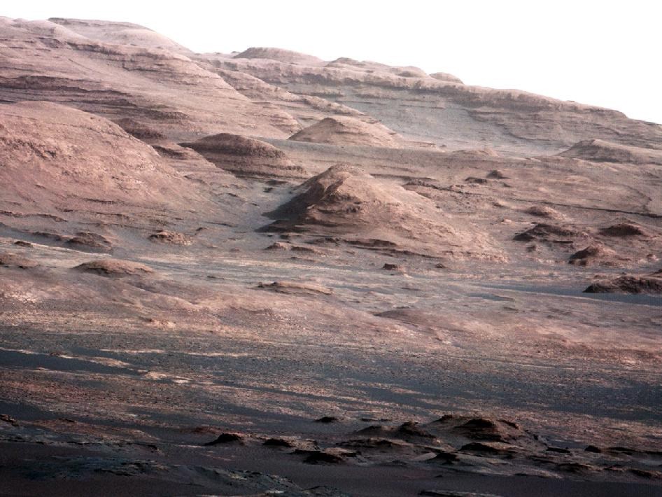
This image, taken in 2012 by Curiosity, shows Mount Sharp, which most of Curiosity’s investigations will take place at.

The Mars Reconnaissance Orbiter shows frost accumulating on a mountain slope, a demonstration of changing seasons on Mars.

The Mars Reconnaissance Orbiter pictures a region of strange polygonal dunes on Mars.

A jagged region in Hale Crater is seeping water in this Mars Reconnaissance Orbiter photo.

An ice crater is shown in stark relief by the Mars Reconnaissance Orbiter.

The “Kimberly” area on Mars shows evidence of ancient lakes, as seen by the Curiosity rover.