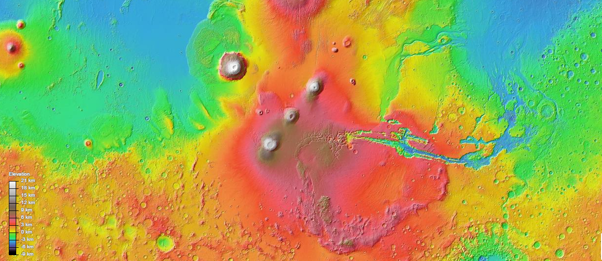
Google’s continually-updated maps of Mars provide an incredible and easily accessible way for students and enthusiasts to investigate another world. Users can display markers for geographic features, regions, current and historical spacecraft, and even locations for current scientific theories or investigations.
With Google Earth, users can also view the very latest images from Mars in a 3D representation of the planet, along with 360-degree panoramas from our Mars rovers.
This is just another example of the public partnerships NASA and ESA participate in to bring scientific data to the world. Check it out here.


