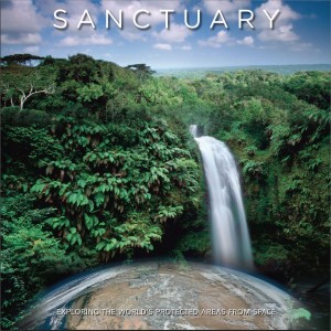
A new book – Sanctuary: Exploring the World’s Protected Areas from Space – offers a stunning look at current global conservation challenges here on Earth and explores the role that information generated by remote-sensing satellites plays in effective terrestrial and marine conservation.
Published by the Institute for Global Environmental Strategies (IGES) of Arlington, Virginia, with support from NASA, the publication highlights how the view from space with Earth-orbiting sensors is being used to protect some of the world’s most interesting, changing, and threatened places.
The book recently debuted at the 2014 World Parks Congress in Sydney, Australia.
Written by Nancy S. A. Colleton and Andrew Clark of IGES, they note the striking contribution of Earth orbiting satellites: “What we have found is a remarkable bounty of information about the natural world. Every shade of color we could have imagined in the past pales in comparison to what we now know.”
Gauging the impact of human activity
“NASA and numerous other space agency partners from around the globe have used this view from space to make incredible scientific advances in our understanding of how our planet works,” explains NASA’s chief, Charles Bolden. “As a result, we can now better gauge the impact of human activity on our environment and measure how and why our atmosphere, oceans, and land are changing.”
As a former astronaut, Bolden explains that he has gazed upon Earth from space, adding: “I hope that we can advance the use of space-based remote sensing and other geospatial tools to study, understand, and improve the management of the world’s parks and protected areas as well as the precious biodiversity that thrives within their borders.”
Take a look at this impressive piece of writing and collection of photos by going to:
https://s3.amazonaws.com/www.strategies.org/IGES_SanctuaryBook_Oct2014.pdf
By Leonard David

